
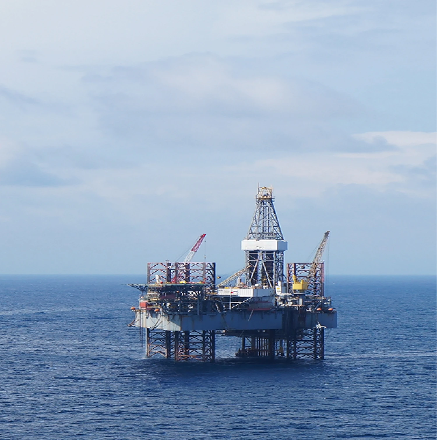
Seagard’s Geophysical Survey Services provide comprehensive mapping and analysis of seabed and subsurface conditions to support the installation, monitoring, and maintenance of offshore assets.
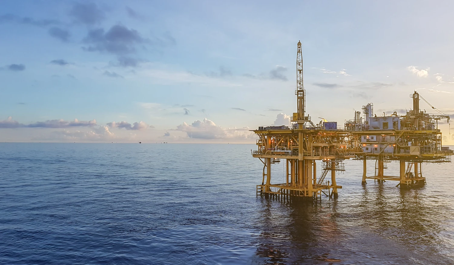
Using cutting-edge geophysical techniques, we deliver accurate data on seabed topography, sediment composition, and potential geohazards. This information is critical for infrastructure planning, risk assessment, and ensuring the stability and longevity of your offshore operations. Whether you’re laying subsea cables, installing wind turbines, or managing oil and gas assets, our geophysical expertise equips you with the insights needed for informed decision-making.
Features
High-Resolution Seabed Mapping
Precise imaging of seabed features using advanced sonar, multibeam, and side-scan systems.
Subsurface Analysis
Detailed data on sediment layers, bedrock, and geological structures beneath the seabed.
Geohazard Assessment
Identification of potential risks, such as unstable slopes, fault lines, and areas prone to subsidence.
Environmental Monitoring
Integration of geophysical data with ecological assessments to ensure sustainable operations.
Survey Integration
Seamless coordination with other Seagard services, such as risk mitigation and asset monitoring.
Custom Deliverables
Comprehensive reports, charts, and 3D visualizations tailored to project-specific requirements
Benefits
Informed Planning
Detailed geophysical data enables optimized placement and design of offshore assets.
Risk Mitigation
Proactively address geohazards and environmental challenges to ensure operational safety and asset stability.
Regulatory Compliance
Meet environmental and safety regulations with precise, validated survey data.
Cost Efficiency
Reduce operational risks and avoid costly errors by basing decisions on accurate geophysical insights.
Enhanced Longevity
Ensure the long-term stability and performance of offshore assets by understanding and addressing subsurface conditions.
Comprehensive Support
Seamless integration with other monitoring and protection services for holistic asset management.
Elevate your offshore operations
Seagard’s Geophysical Survey Services are essential for the safe and efficient management of offshore infrastructure.
By providing detailed insights into seabed and subsurface conditions, we help you reduce risks, optimize operations, and ensure long-term asset performance.
Contact us today to discover how our geophysical expertise can enhance your offshore projects and protect your investments.